|
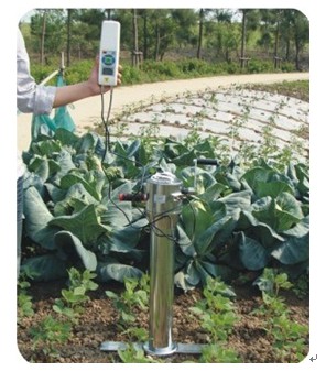
TJSD-750-III |
Can directly show soil compaction (kg and kpa), and can store each measurement sample data to the host at any time , can reflect parameters of the degree of soil compaction , built-in GPS positioning and depth measurement system, can simultaneously display soil compaction, measuring depth and geographical location (latitude and longitude)
|
|
TJSD-750-IV |
With TJSD-750-III full function. And can be connected to the computer, automatically generated the soil compaction curve of each measurement point, and can generate regional maps of soil compaction by a number of measurement points, automatically generate the data chain.
|


